17th Street Drainage Area
There exists a natural rainwater drainage channel, south of the intersection of G Street and 17th Street. In 1962 this channel was bermed to provide a hold up pond approximately 30 ft. by 30 ft.. The reason for construction of this bermed pond is not presently known. The pond appears to have been functional for many years and went through many periods of evaporative drying during the summers and refilling during the rainy seasons. During subsequent years the area became overgrown with shrubs and trees, and the pond filled with silt. During rainy seasons the low lying area was marshy but would dry up each summer.
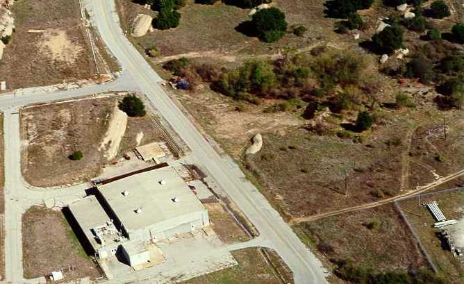
Building Cleanup
During the Area IV Radiological Survey in 1995, this area was found to be both completely overgrown and marshy as was judged to be inaccessible. The drainage channels to the north and south of the pond area were soil sampled and no contamination was found.
Subsequently, in 1997, during inspection of historical aerial photos, the existence and location of the old pond was identified and investigated. Several soil samples were taken in the area (which was now dry) and two samples showed cesium-137 exceeding the cleanup standards by 50%. A radiation survey was done in the area, and localized areas exceeding background by ~100% were identified.
In 1998, the entire area was weed-whacked and stripped of shrubs and trees. The original bermed pond area was was gridded and surveyed including all the upper drainage into the pond and the lower drainage away from the pond. One-meter high exposure measurements did not exceed 18.4 microR/hr in a background of 15 microR/hr. Localized areas of elevated radiation at ground level were observed up to a maximum of twice background. All locations that exceeded ground level exposure rates of more than 5 microR/hr above background were marked.
These areas of elevated radiation were soil sampled at varying depths. Most locations indicated only naturally occurring radionuclides. However several areas immediately to the north and immediately to the south of the berm showed levels of radionuclides above local background. Cesium-137 was again found up to 2 pCi/g (but less than the cleanup standard of 9.2 pCi/g), uranium isotopes were found up to 4 pCi/g (but less than the cleanup standard of 30 pCi/g) and thorium-228 was found up to 6 pCi/g (at around the cleanup standard). All uranium results showed ratios of uranium isotopes which were consistent with naturally occurring uranium and not processed or enriched uranium which was typical of nuclear fuel used at SSFL. Although thorium-228 was found at 6 pCi/g, its parent isotope, thorium-232 was found at typical background levels (e.g. 1 pCi/g), thus the origin or cause of elevated thorium-228 is uncertain since this specific thorium isotope was not processed or used at SSFL.
Even though the majority of samples did not exceed cleanup standards and did not pose a risk to anyone, they were nevertheless excavated. Soil sampling performed after excavation showed that excavation had been effective in reducing even these low levels further below cleanup standards.
A final survey by Rocketdyne was completed in the summer of 1999. Verification surveys by the Oak Ridge Institute of Science and Education (ORISE) and the California Department of Health Services (DHS) were completed in October 1999. The ORISE survey was documented in April 2000. The DHS survey was documented in August 2004. These surveys demonstrated that no residual contamination remains that exceeds approved cleanup standards. A final D&D report and Certification Docket was prepared in August 2000.
DHS released the site for unrestricted use in August 2004. DOE declared the site suitable for release for unrestricted use in February 2005.